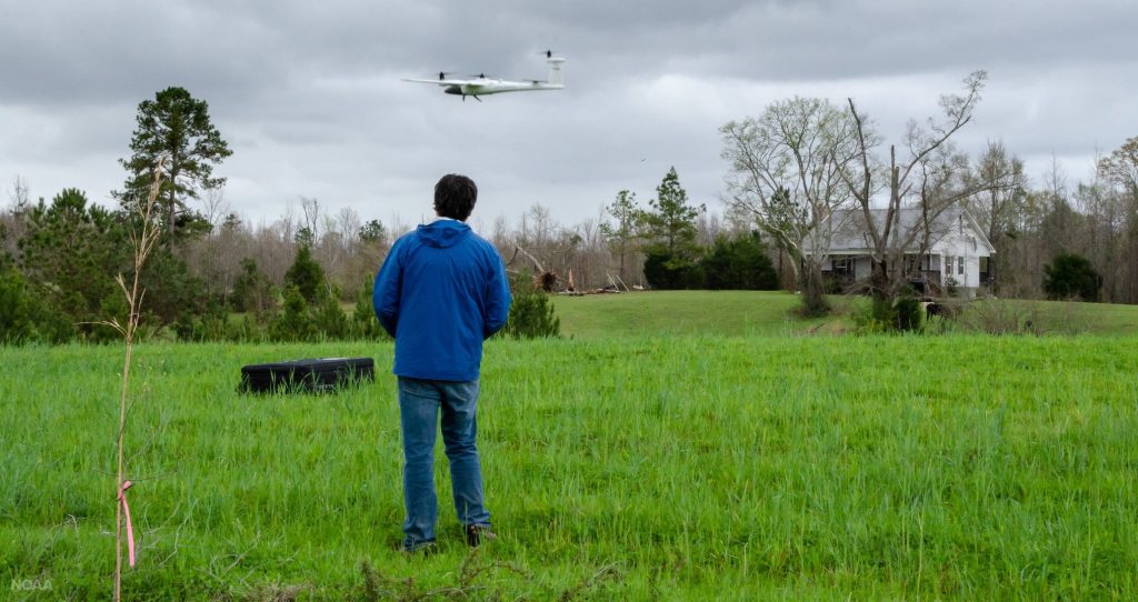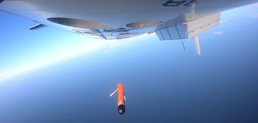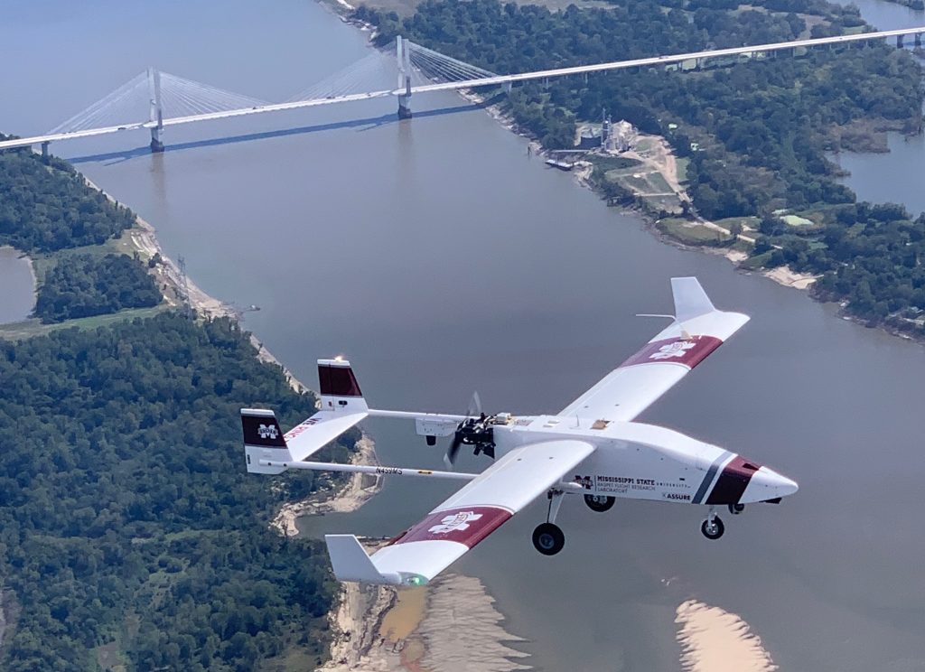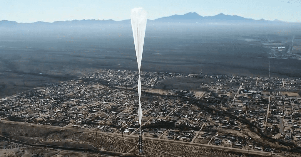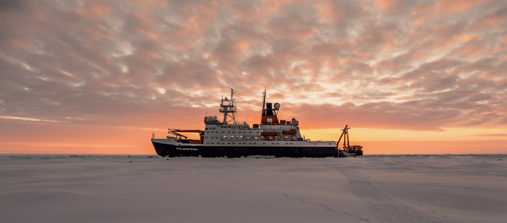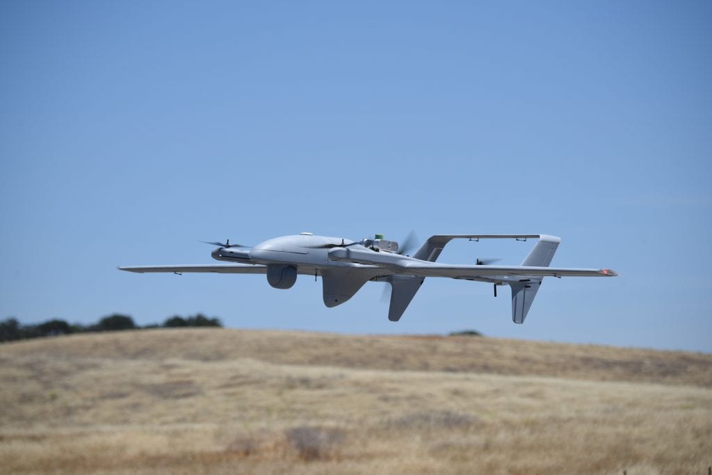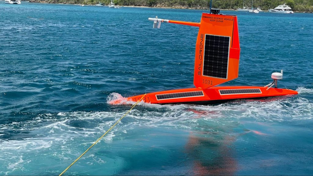
NOAA deploys drones in the ocean and atmosphere to advance hurricane forecasting
Uncrewed systems and other tools are gathering data at different levels of the ocean and the atmosphere that are key to understanding how storms form, build, and intensify. Together with NOAA Hurricane Hunter aircraft carrying sensors, this data paints a clearer picture for scientists of the forces that drive hurricanes. Predicting these changes in hurricanes enables communities to better prepare, which can protect lives and property and strengthen local economies.
NOAA deploys drones in the ocean and atmosphere to advance hurricane forecasting Read More >