
observations
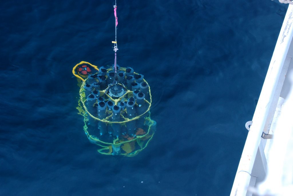
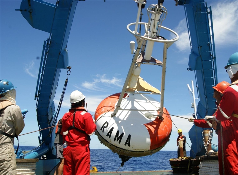
New Story Map Highlights the Importance of NOAA Long-term Observations in the Bering Sea
The Pivotal Recovery Story Map ESRI recounts the events in 2021 of how NOAA scientists raced against nature to save their most valuable scientific instruments
New Story Map Highlights the Importance of NOAA Long-term Observations in the Bering Sea Read More >
NOAA initiatives among the first round of Ocean Decade endorsed actions
NOAA scientists and priorities are well reflected in several of the first Ocean Decade actions endorsed and announced this week by the United Nations Intergovernmental Oceanographic Commission of UNESCO (IOC).
NOAA initiatives among the first round of Ocean Decade endorsed actions Read More >
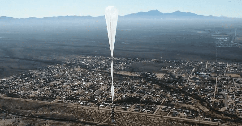
NOAA teaming up with Arizona firm to advance study of stratosphere
World View Enterprises has offered to carry a miniaturized NOAA instrument on its high-altitude balloon to capture measurements of atmospheric particles on a series of flights in 2021 that will last weeks and cover thousands of miles at altitudes above 55,000 feet.
NOAA teaming up with Arizona firm to advance study of stratosphere Read More >
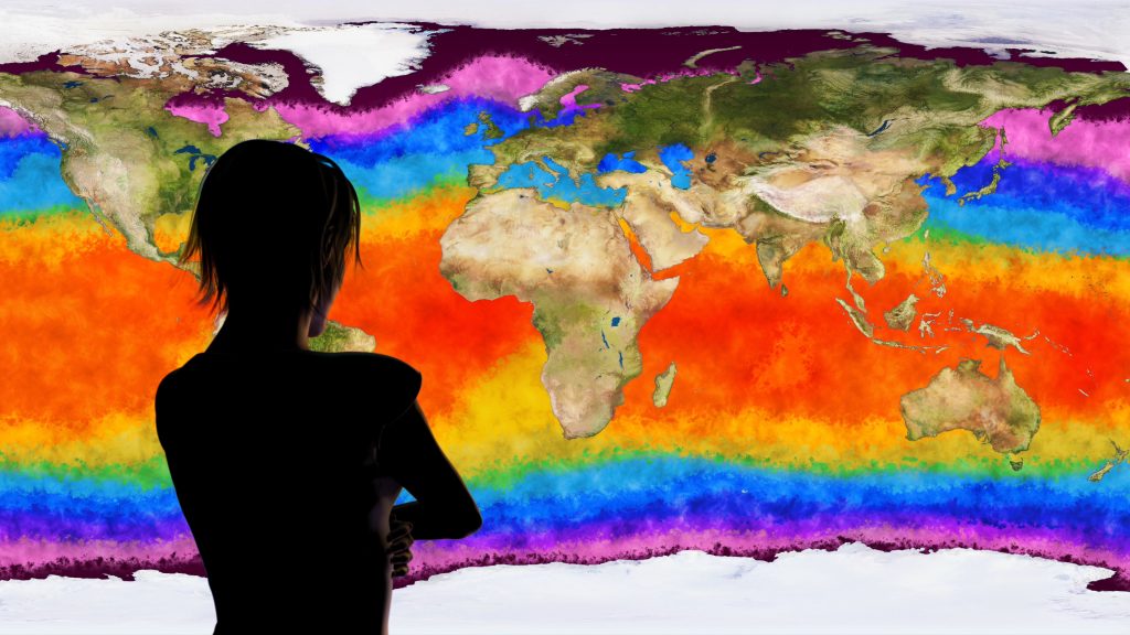
Indo-Pacific Ocean warming is changing global rainfall patterns
Rainfall declines may affect U.S. West Coast and parts of the East Coast New research by NOAA and a visiting scientist from India shows that
Indo-Pacific Ocean warming is changing global rainfall patterns Read More >

Sharon L. Walker
Finding the Fire Beneath the Waves by Leslie Irwin, OAR Communications Specialist Walker spends her time surveying and mapping the ocean floor and sampling the
Impact of Ground-based Remote Sensing Boundary Layer Observations on Short-term Probabilistic Forecasts of a Tornadic Supercell Event
AMS Weather and Forecasting journal
Due to lack of high spatial and temporal resolution boundary layer (BL) observations, the rapid changes in near storm environment are not well represented in current convective-scale numerical models. Better representation of the near storm environment in model initial conditions will likely further improve the forecasts of severe convective weather. This study investigates the impact of assimilating high temporal resolution BL retrievals from two ground-based remote sensing instruments for short-term forecasts of a tornadic supercell event on 13 July 2015 during the Plains Elevated Convection at Night field campaign. Results indicate a positive impact of Atmospheric Emitted Radiance Interferometer (AERI) and Doppler Lidar observations in forecasting Convective Initiation (CI) and early evolution of the supercell storm. The experiment that employed the AI technique to assimilate BL observations in DA enhances the humidity in near storm environment and low-level convergence, which in turn helps forecasting CI. The forecast improvement is most pronounced during the first ~3-h. Results also indicate that the AERI observations have a larger impact compared to DL in predicting CI.