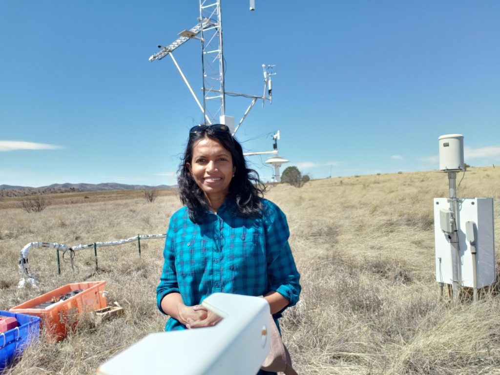
Official websites use .gov
A .gov website belongs to an official government organization in the United States.

Secure .gov websites use HTTPS
A lock ( ) or https:// means you’ve safely connected to the .gov website. Share sensitive information only on official, secure websites.

Home » boundary layer

boundary layer

Progress toward characterization of the atmospheric boundary layer over northern Alabama using observations by a vertically pointing, S-band profiling radar during VORTEX-Southeast

The spatiotemporal variability of the atmospheric boundary layer regulates the atmosphere's ability to generate and sustain severe thunderstorms. Boundary layer evolution poses significant challenges for numerical weather prediction because both its vertical and horizontal inconsistencies are not handled by most operational models. Using a ground-based vertically pointing radar can reveal additional details about the evolution and character of the boundary layer. Researchers developed an algorithm for observations collected during the Verification of the Origins of Rotation in Tornadoes Experiment (VORTEX) by a vertically-pointing radar. The algorithm automatically separated observations of precipitation and non-precipitation, and allows for further identification of important boundary layer features of interest to the VORTEX-SE community.

Progress toward characterization of the atmospheric boundary layer over northern Alabama using observations by a vertically pointing, S-band profiling radar during VORTEX-Southeast Read More >

Impact of Ground-based Remote Sensing Boundary Layer Observations on Short-term Probabilistic Forecasts of a Tornadic Supercell Event

AMS Weather and Forecasting journal
Due to lack of high spatial and temporal resolution boundary layer (BL) observations, the rapid changes in near storm environment are not well represented in current convective-scale numerical models. Better representation of the near storm environment in model initial conditions will likely further improve the forecasts of severe convective weather. This study investigates the impact of assimilating high temporal resolution BL retrievals from two ground-based remote sensing instruments for short-term forecasts of a tornadic supercell event on 13 July 2015 during the Plains Elevated Convection at Night field campaign. Results indicate a positive impact of Atmospheric Emitted Radiance Interferometer (AERI) and Doppler Lidar observations in forecasting Convective Initiation (CI) and early evolution of the supercell storm. The experiment that employed the AI technique to assimilate BL observations in DA enhances the humidity in near storm environment and low-level convergence, which in turn helps forecasting CI. The forecast improvement is most pronounced during the first ~3-h. Results also indicate that the AERI observations have a larger impact compared to DL in predicting CI.

Impact of Ground-based Remote Sensing Boundary Layer Observations on Short-term Probabilistic Forecasts of a Tornadic Supercell Event Read More >

Scroll to Top

Popup Call to Action

A prompt with more information on your call to action.