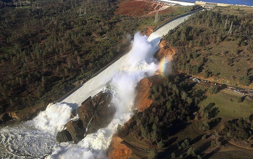
National Academies unveils strategy to modernize probable maximum precipitation estimates
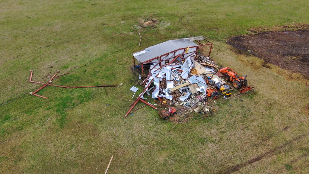
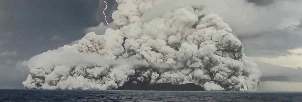
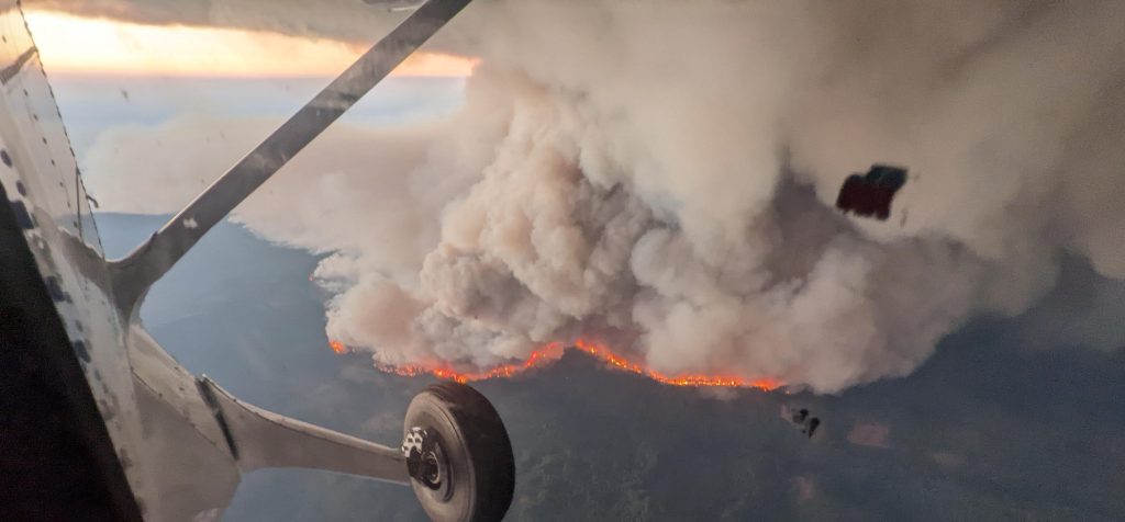
As climate change continues to supercharge storms that threaten existing infrastructure, there’s an urgent need to modernize estimates of probable maximum precipitation and improve the science behind them.