Model helps warn of worst desert locust swarms in a quarter century
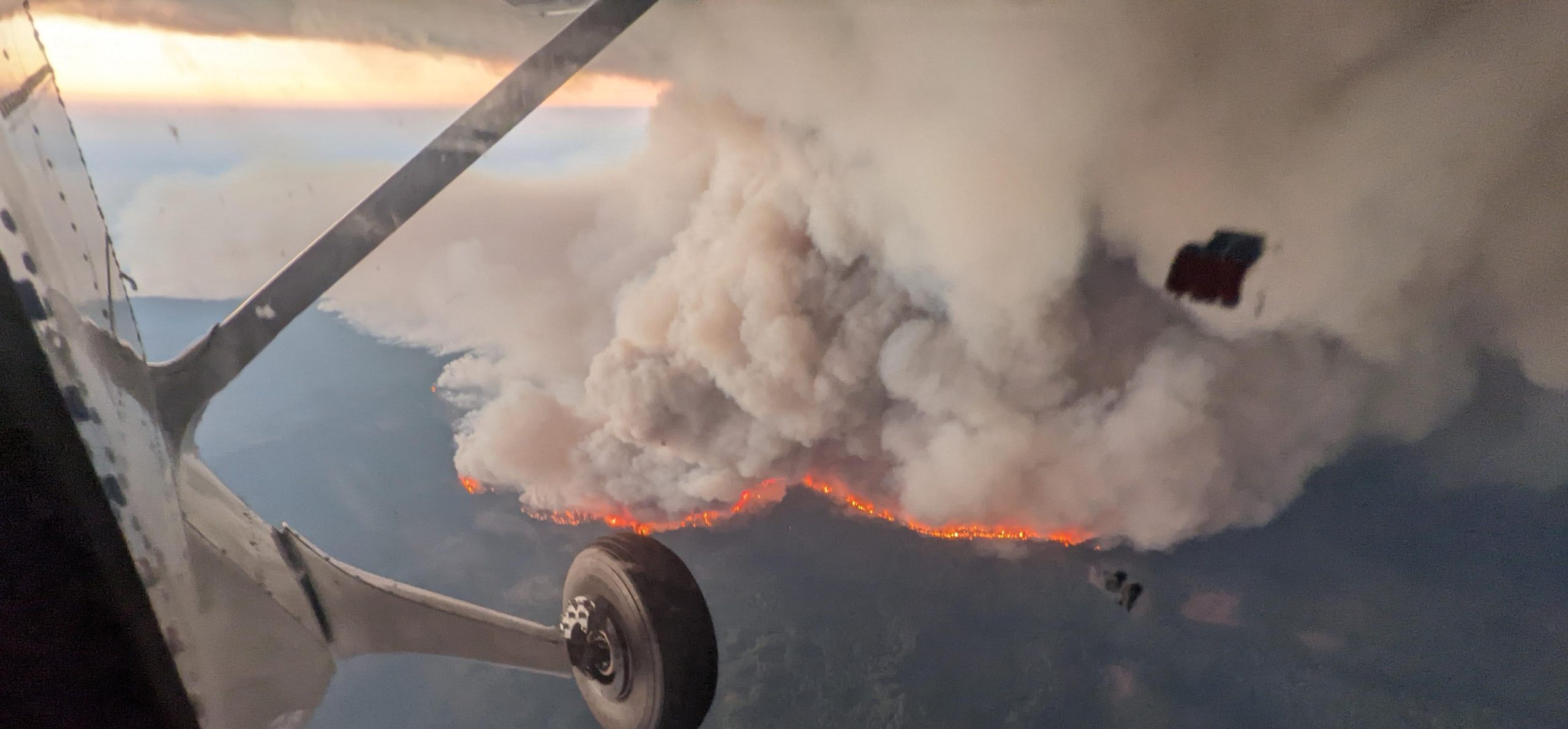
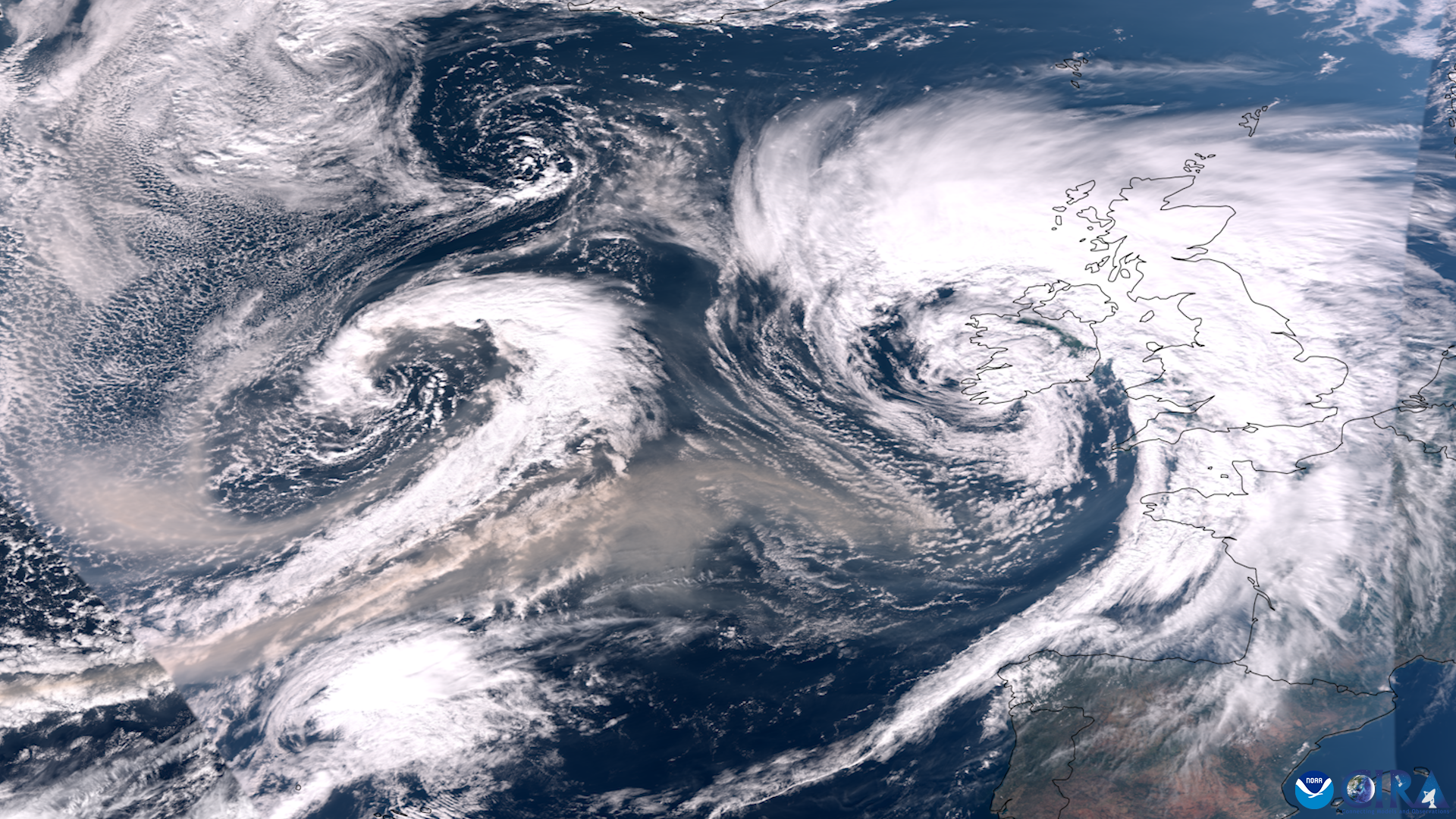
NOAA’s powerful air quality model used to track the movement and deposition of pollution from wildfires, volcanoes and industrial accidents is now being used to help warn communities across Africa and Asia of what have been called the worst locust swarms in a quarter century.
Working with the United Nations Food and Agriculture Organization, NOAA has developed a new web application based on NOAA’s HYSPLIT dispersion model that FAO is using to issue forecasts and warnings to affected countries about a potentially devastating second wave of locust swarms.
FAO forecasts enable local officials to conduct aerial spraying to reduce the impact of desert locusts which can destroy grains, grasses and other greens that are life-sustaining foods for entire regions.
“We hope this new tool will help response organizations reduce the devastation that’s being wrought by these locust swarms,” said Mark Cohen of NOAA’s Air Resources Laboratory in College Park, Maryland, who co-led the NOAA effort to develop the application with FAO.
UN locust forecaster reached out to NOAA
Keith Cressman, senior locust forecasting officer at FAO, contacted NOAA’s Air Resources Lab in February to let the lab know he had been using NOAA’s HYSPLIT model to track the movement of locusts, but he needed help improving the accuracy and efficiency of its assessments. He was running the model many times a day and wanted to know if there was a way to produce faster and more accurate forecasts for countries desperate for information.
Cressman knew that HYSPLIT was designed to track air pollution but he asked Cohen if there was a way to refine the model to account for the locusts’ behavior.
“We realized this was a huge problem and we absolutely wanted to help in any way we could,” said Sonny Zinn, a software engineer at ARL, who co-led the effort to quickly develop a user friendly, web-based application using the powerhouse HYSPLIT model at its core. Within a few weeks, Cohen and Zinn created the web application which now supports FAO’s operational forecasts.
Wind data key to forecasting locusts
Because desert locusts are passive fliers that drift with the wind, the model’s high quality data on wind speed and direction from NOAA’s National Weather Service global weather forecast model allows for accurate predictions of where the locusts will go and when. It can also be used to indicate potential source areas of desert locust swarms. To make the new tool even more useful, the NOAA team created a system enabling Cressman to easily run forecasts for multiple swarms all at once. The model also allows Cressman to easily account for the times of day when locusts are most likely to fly.
Cressman praised how quickly the NOAA team developed the locust trajectory model. “This has really improved our ability to assess the desert locust situation and forecast its developments globally,” he said. “This is vital to the affected countries for better planning and implementation of the necessary control operations on time.”
NOAA plans to continue collaborating with FAO to enhance the model. “As we get more information on the science of how they fly, how high they fly, we will be able to make the tool even more accurate,” said Zinn.
For more information, please contact Monica Allen, NOAA Communications, at monica.allen@noaa.gov or 202-379-6693