
Global Systems Laboratory
NOAA tests next-generation wildfire detection and warning tools
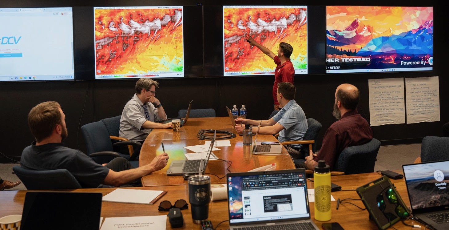
Two experimental tools that will speed fire detection and warning got a week-long test run last month during a series of hands-on simulations in NOAA’s
Two experimental tools that will speed fire detection and warning got a week-long test run last month during a series of hands-on simulations in NOAA’s
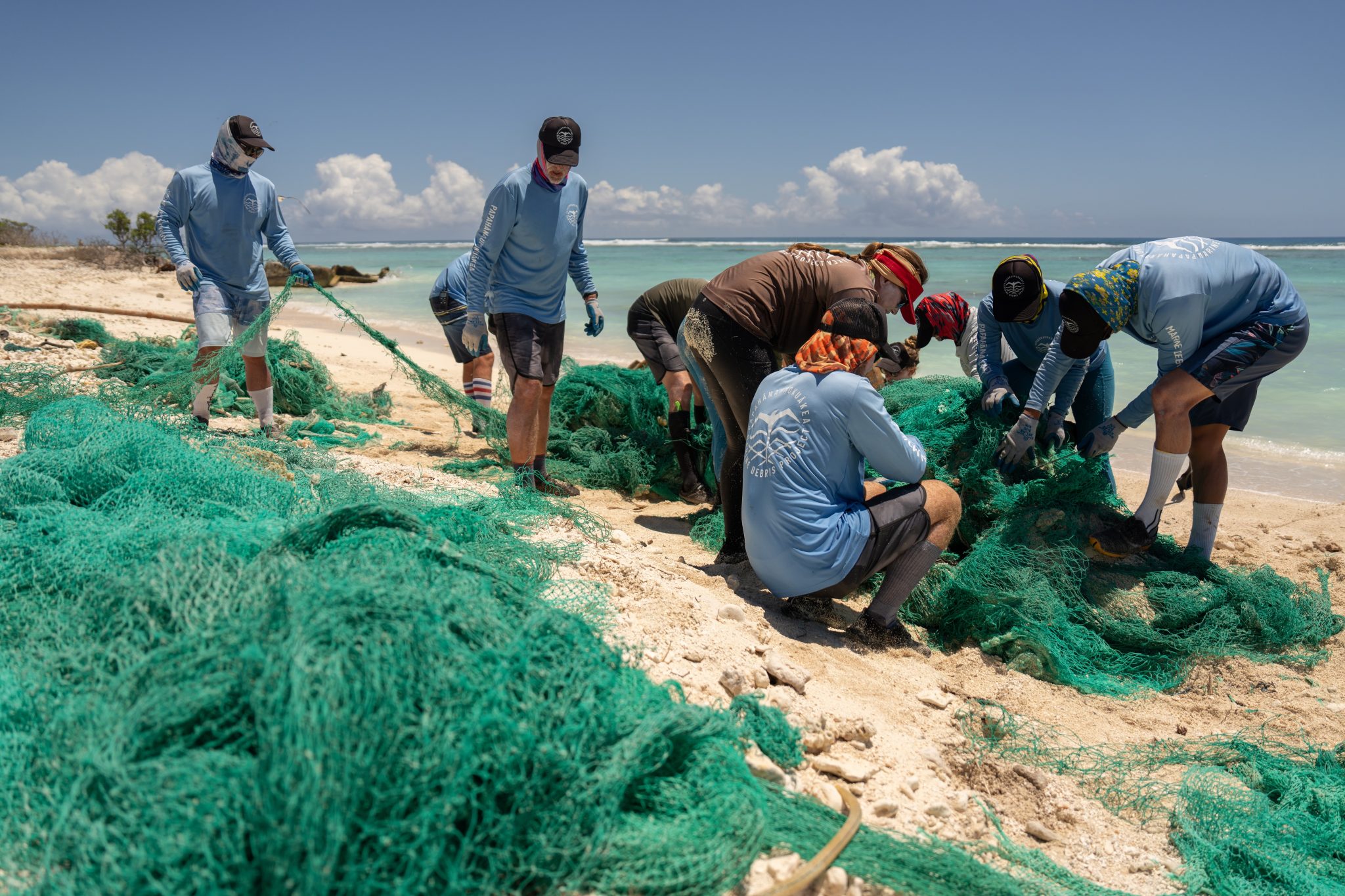
The Department of Commerce and NOAA announced $27 million in funding for projects to prevent and remove marine debris in coastal and Great Lakes communities
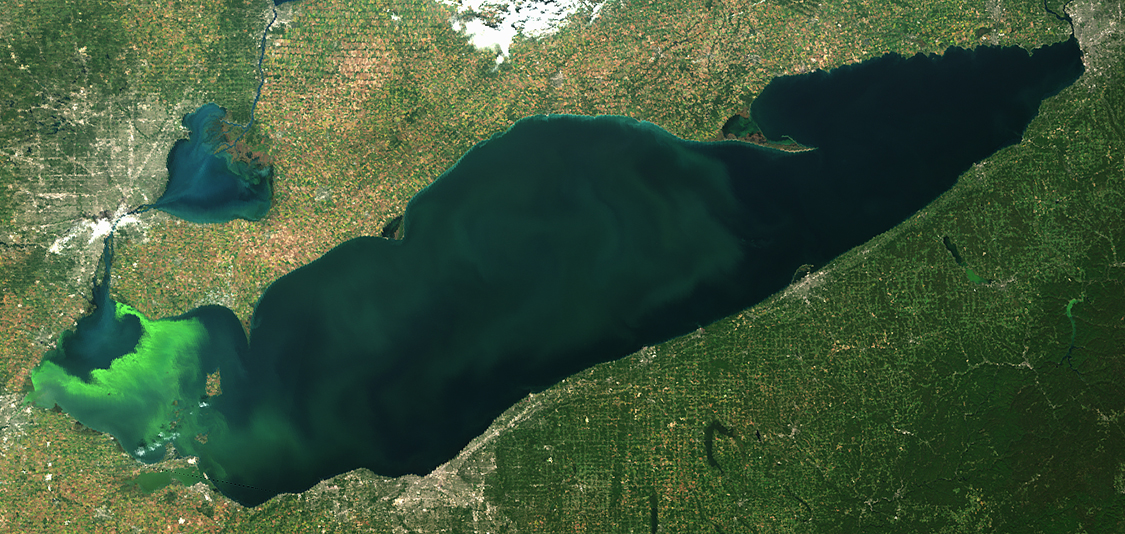
NOAA’s Lake Erie Hypoxia forecast is now fully operational In the early 2000s, scientists from NOAA’s Great Lakes Environmental Research Laboratory (GLERL) teamed up with
NOAA scientists and several partners are taking a fresh look at persistent air pollution problems bedeviling the nation’s two largest Intermountain metro regions, Denver and
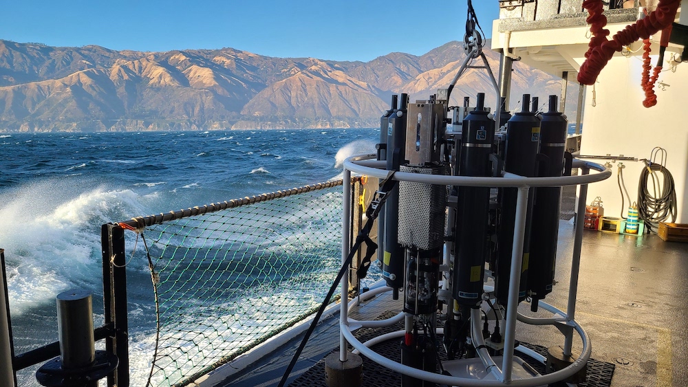
Blooms of toxic cyanobacteria can impact human and ecosystem health and have led to the death of pets and livestock. Providing accurate and frequent measurements
As atmospheric greenhouse gas levels continue to rise, it is important to understand the basics of what these gases are, how NOAA monitors them, and
As climate change continues to supercharge storms that threaten existing infrastructure, there’s an urgent need to modernize estimates of probable maximum precipitation and improve the
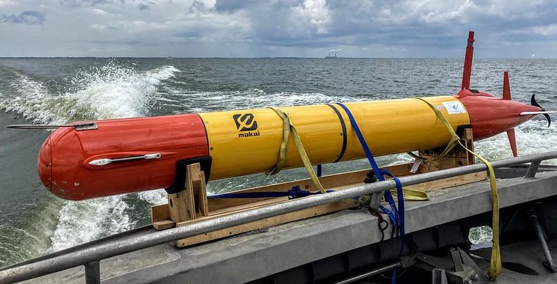
Emerging technology will allow scientists to better understand abundance and diversity of aquatic species The United States’s aquatic resources are a national treasure, a system
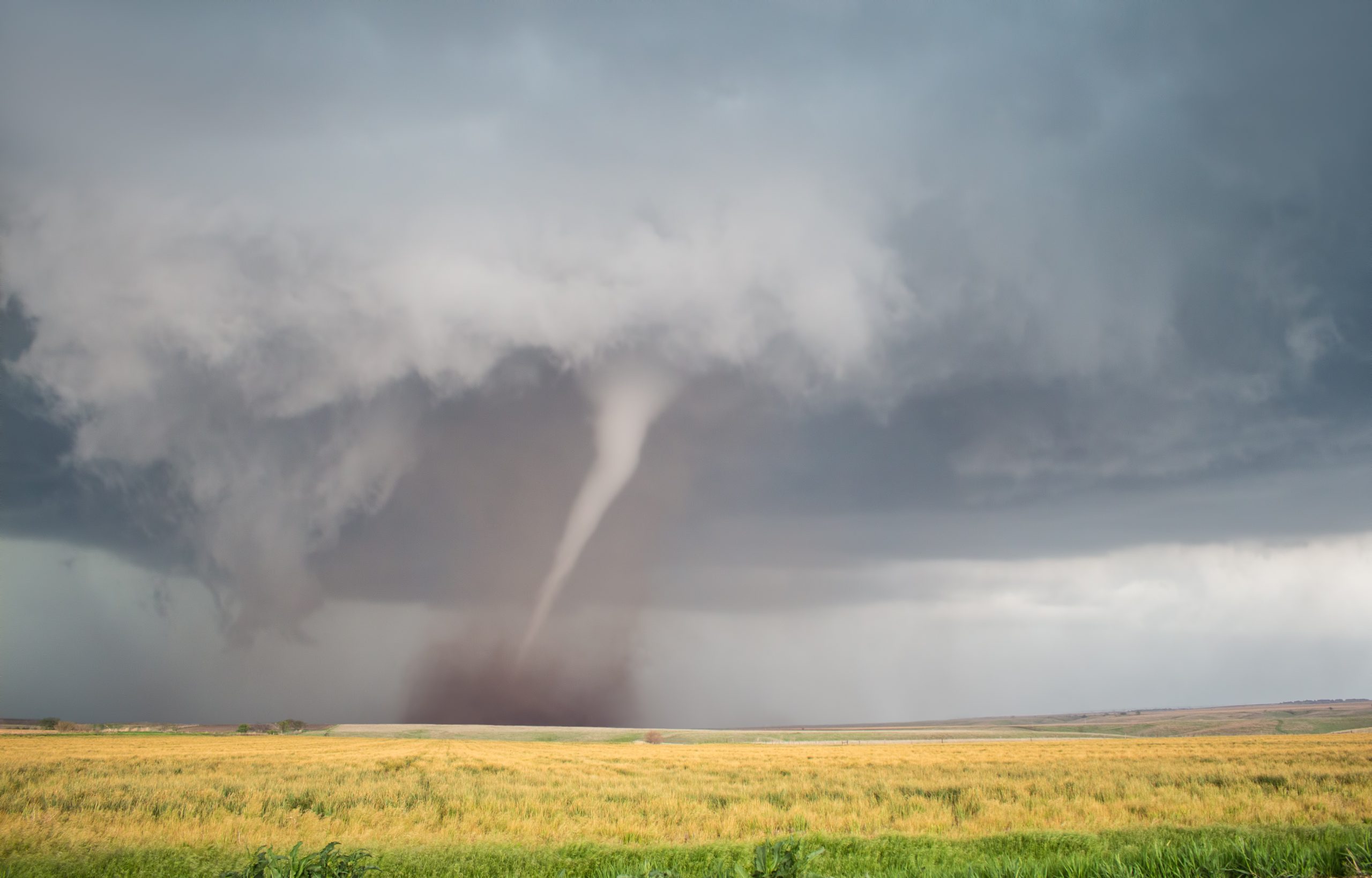
On May 21, 2024, severe thunderstorms struck central Iowa, producing flash flooding, straight line wind damage and at least nine tornadoes. One of those tornadoes

New research by a team including current and former NOAA-affiliated scientists has shown that atmospheric concentrations of a class of ozone-depleting chemicals used as refrigerants,