In early July, the Caribbean experienced 165 mph winds as Category 5 Hurricane Beryl swept through the region. Beryl was unprecedented, becoming the Atlantic’s earliest forming Category 5 tropical cyclone on record. The storm developed and rapidly intensified to maximum wind speed in less than four days – a behavior uncommon this early in the season. Despite the unprecedented intensification, hurricane scientists and oceanographers with NOAA were prepared. Researchers collaborated with multiple partners to sample Beryl from top to bottom, providing invaluable data to safeguard life and property while also aiding future research to unlock complex tropical cyclone processes.
To better understand Hurricane Beryl, scientists observed the storm from the sea, sky, and space with an array of observational instruments to gain a comprehensive perspective of the storm’s behavior and dynamics. Data from these instruments were assimilated into weather models and used by the National Hurricane Center for more accurate track and intensity forecasts.
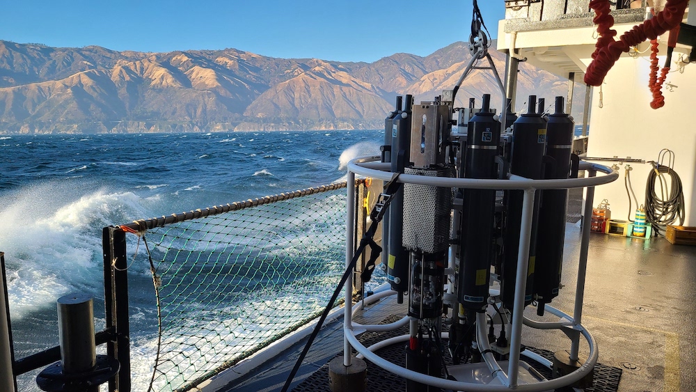
Ocean temperature and salinity features influence a hurricane’s ability to pull deeper waters upward that cool the surface ocean, an interaction known to impact storm development and intensity. An underwater glider deployed by Rutgers University’s Center for Ocean Observing Leadership, RU29, was near Beryl’s projected path and, as Beryl approached, was moved to inside the forecast cone. Soon after, the storm crossed directly over the glider, collecting measurements below the hurricane’s eyewall. This is believed to be the first time a glider has been beneath the eyewall of a category-5 hurricane. As the glider made frequent dives to depths over 1500 feet, unprecedented data revealed how Beryl mixed, cooled, and changed the ocean below. The data were submitted in real-time to the U.S. IOOS National Glider Data Assembly Center for immediate use in forecast models as well as research.
A saildrone in the Caribbean was also tasked with the mission of intercepting Hurricane Beryl. Saildrones are uncrewed surface vehicles (USV) that sample the storm environment where the atmosphere meets the ocean. This boundary layer is critical to understanding how a storm draws energy from the ocean to fuel its development. Saildrones are equipped with onboard sensors that gather data around the ocean’s surface, giving scientists a picture of what’s happening in the upper levels of the ocean and the bottom of the atmosphere as a storm passes.
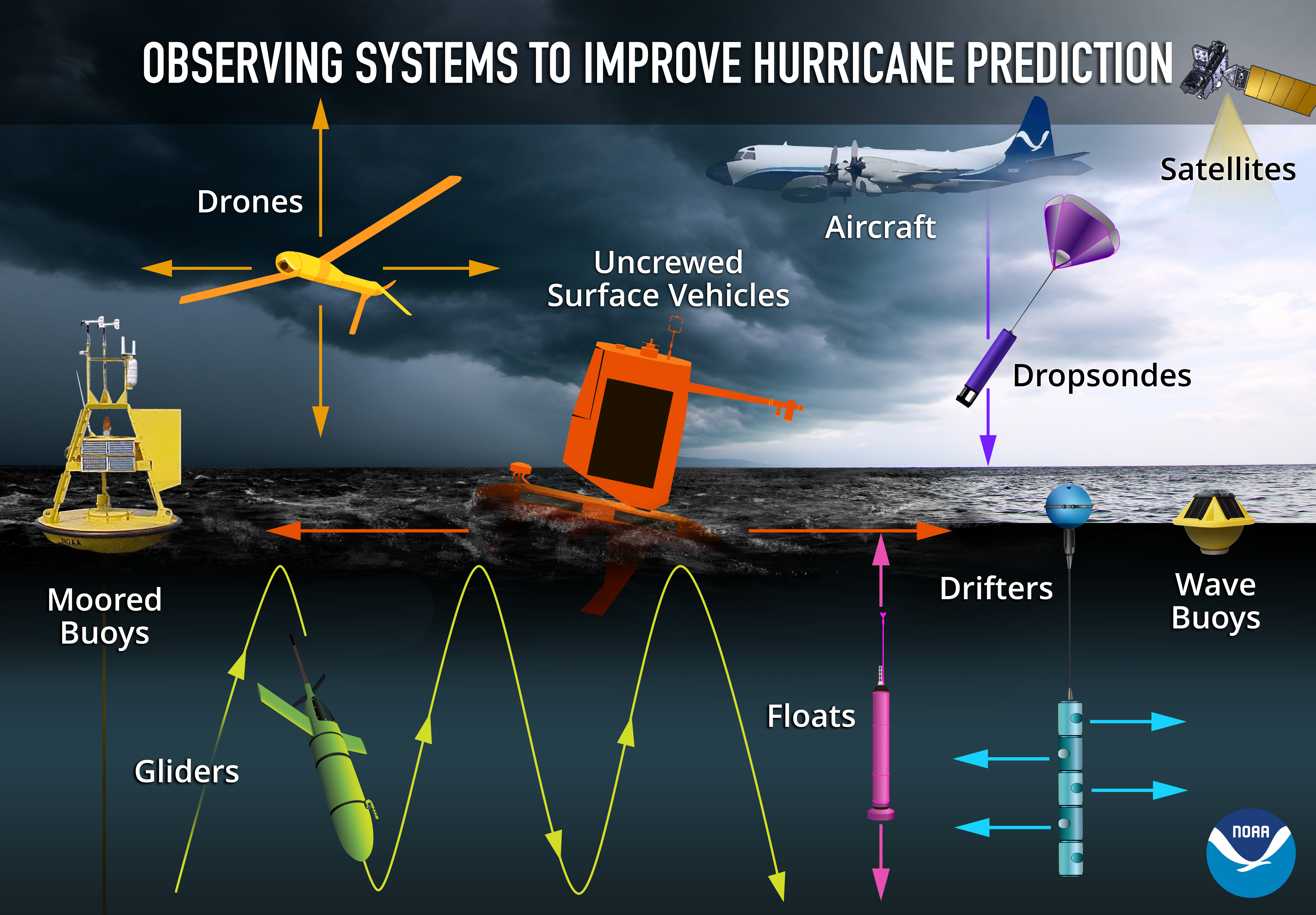
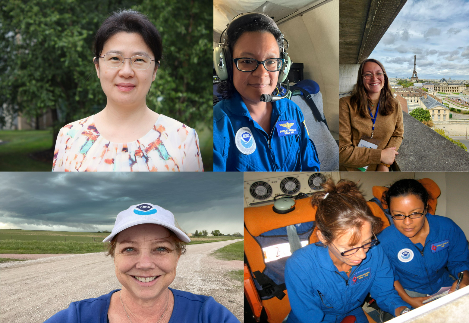
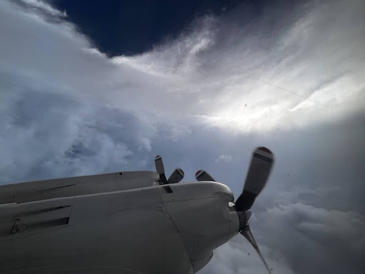
NOAA’s Hurricane Hunter P3-Orion and Gulfstream-IV aircraft flew into Hurricane Beryl, piloted by aviators from the Office of Marine and Aviation Operations and carrying scientists from AOML’s Hurricane Research Division and the Cooperative Institute for Marine and Atmospheric Studies into the eye of the storm. These researchers were tasked with gathering data from onboard instruments, as well as launching instruments into the storm. Over eight days, AOML supported 13 P-3 and 3 G-IV missions into Beryl with a combined total of 387 dropsondes and 20 ultra-light experimental StreamSondes strategically released into the storm. Some of these sondes were targeted drops, aimed at releasing the instrument directly above the saildrone and the glider. These instruments gather atmospheric data as they fall to the ocean, giving scientists a picture of what’s happening inside the storm and how it’s developing.
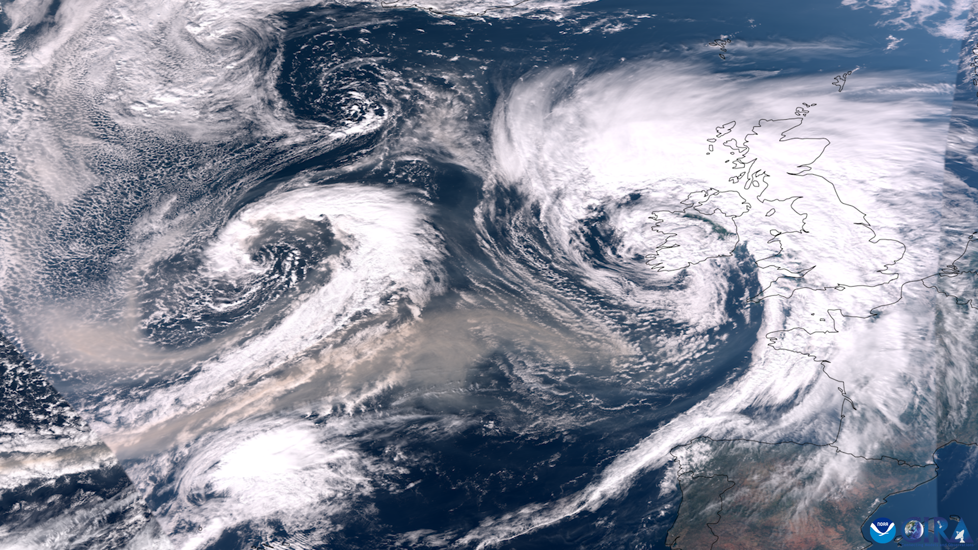
From above, NOAA’s National Environmental Satellite, Data, and Information Service (NESDIS) additionally played a pivotal role by providing high-resolution imagery about Beryl’s structure, track, and intensity. The observations captured by the NESDIS fleet of satellites was critical in forecasting Beryl’s rapid intensification. By integrating satellite information with data collected from the ocean and atmosphere, researchers were able to achieve a more holistic understanding of Beryl’s changing dynamics.
Hurricane Beryl demonstrated the value of collaborative research and showcased how technology and teamwork can push the boundaries of our understanding of hurricanes. The data collected from the sea, sky, and space provided valuable insights about this extraordinary storm’s development and intensification. The alignment of the glider, dropsondes, planes, and satellites gave researchers the unique opportunity to collect a continuous vertical column of data extending from below the ocean’s surface to the sky. This comprehensive dataset was instrumental in analyzing the storm’s rapid intensification. As the season progresses, the knowledge gained from this research will play a crucial role in refining NOAA’s predictive models and in improving our preparedness for future storms.
This research was conducted through the 2024 Hurricane Field Program. Support for this mission was provided by NOAA’s Atlantic Oceanographic & Meteorological Laboratory, Pacific Marine Environmental Laboratory, Office of Marine & Aviation Operations, Aircraft Operations Center, National Environmental Satellite, Data, and Information Service, National Center for Environmental Prediction, Global Ocean Monitoring and Observing’s Extreme Events program, National Data Buoy Center, Saildrone, the Cooperative Institute for Marine and Atmospheric Studies, and Rutgers University in collaboration with the U.S. IOOS-led Hurricane Glider Coordination.
Funding and support for the Rutgers glider is provided by the G. Unger Vetlesen Foundation with additional support from University of the Virgin Islands, Ocean and Coastal Observing – Virgin Islands, the Caribbean Coastal Ocean Observing System, and the University of Puerto Rico-Mayaguez, with thanks to the Dominican Republic and Curaçao for permitting passage of the glider through their waters for marine research.