NOAA scientists and several partners are taking a fresh look at persistent air pollution problems bedeviling the nation’s two largest Mountain West metro regions, Denver and Salt Lake City, from the ground, in the air and from space, during new research projects launched this month.
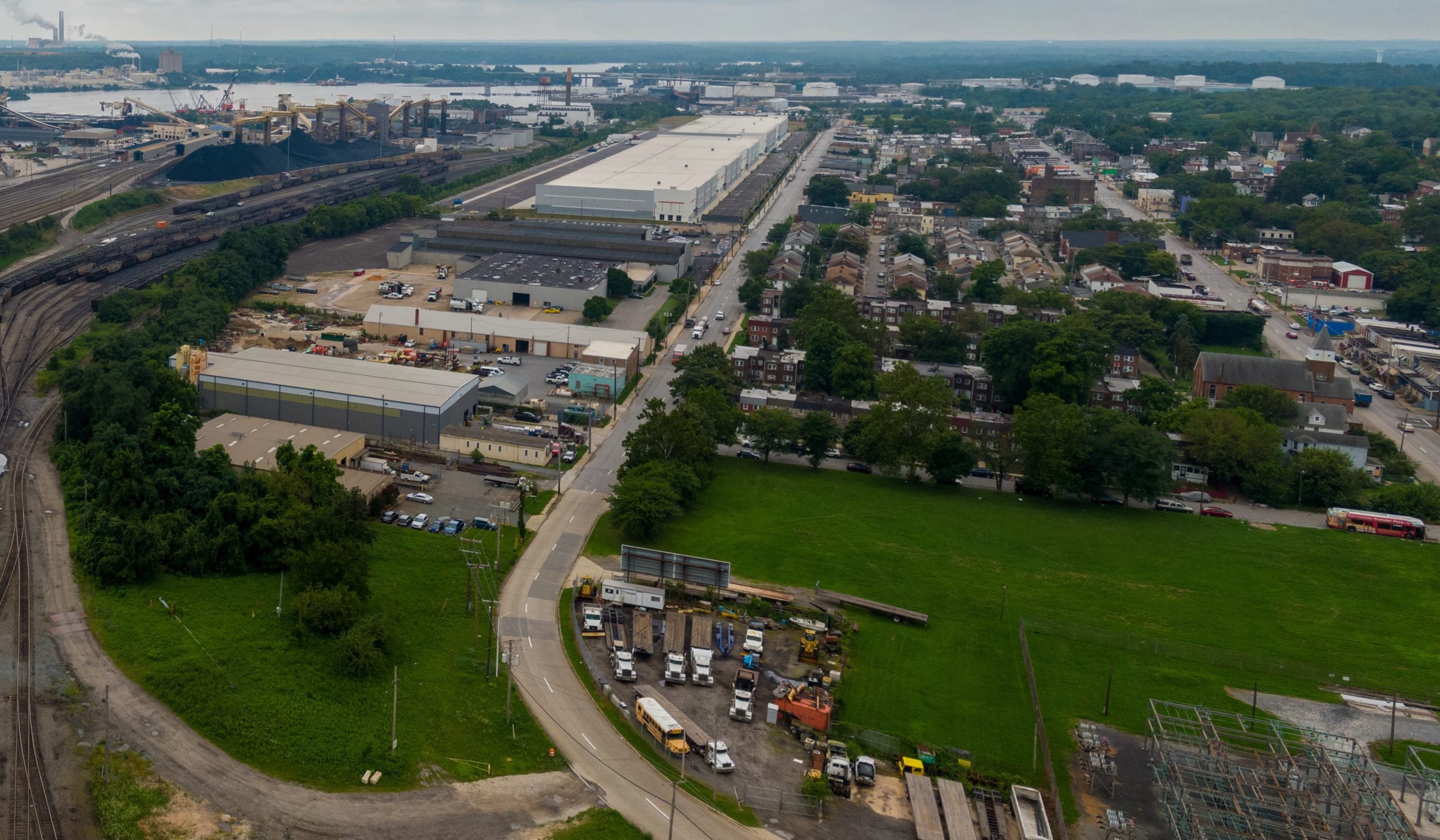
For two weeks in July, NOAA scientists, joined by NASA scientists and state officials, will be fanning out across northeastern Colorado’s Denver-Julesburg basin, one of the most densely drilled oil and gas regions in the country. Specialized instruments mounted on airplanes, ground vehicles, and stationary sites will allow researchers to measure emissions of greenhouse gases and the air pollutants that contribute to the high summer ozone pollution that has long plagued the Denver Metropolitan Area.
Researchers intend to quantify emissions from oil and gas operations, agriculture, industry, and urban sources, assess to what degree they’ve changed from previous studies, and evaluate their contributions to summertime ozone in the Front Range. Findings will help the Colorado Department of Public Health and Environment, which is supporting the project, determine the effectiveness of state policies to reduce ozone levels that currently exceed national air quality standards.
In 2022, the EPA downgraded the Denver metro and northern Front Range regions to “severe” nonattainment status under the current ozone standard, and established a July 2027 deadline for coming into attainment.
“It’s been exactly 10 years since the last major air quality study took place in the Denver metro area,” said Sunil Baidar, a research scientist with NOAA’s Chemical Sciences Laboratory (CSL), which is leading the twin studies. “We need to understand the changing landscape of emission sources to help the state develop strategies to meet air quality standards across the Denver metro area and northern Colorado Front Range.”
Investigating pollution from the surface to space
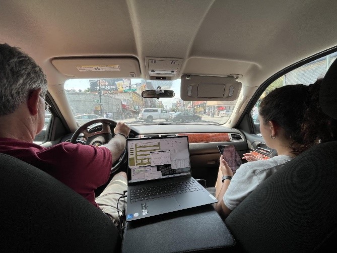
The Colorado project pairs the NOAA Twin Otter and NASA King Air research aircraft, which will be joined by scientists aboard several mobile platforms, including: NOAA‘s Air Resources Laboratory Air Resources Car, as well as CSL’s Pick-Up based Mobile Atmospheric Sounder, Tunable Optical Profiler for Aerosol and oZone (TOPAZ) lidar, and Mobile Laboratory. Both the airborne and mobile platforms will be equipped to make chemical measurements of methane, carbon monoxide, ethane, nitrogen oxides and ozone, along with Doppler lidar systems to measure winds at different elevations.
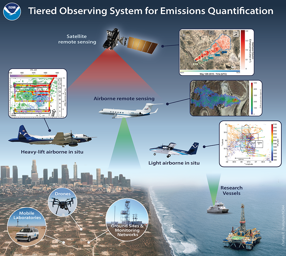
This graphic depicts how a tiered observing system composed of surface, airborne and satellite assets is used to evaluate and monitor U.S. oil and gas and urban emissions of methane and air pollutants. Credit: NOAA Chemical Sciences Laboratory
The Colorado Front Range is an ideal first target for deploying this tiered observations methodology, said Steven Brown, CSL’s Tropospheric Chemistry program leader. While the Twin Otter flies chemical instruments to directly measure methane concentrations at flight altitude, the King Air is equipped with a downward-looking optical methane imager, known as AVIRIS-3, that is capable of mapping individual methane plumes and leaks. Flying overhead, three different satellites will remotely measure methane at varying spatial scales.
Michael Ogletree, director of CDPHE’s Air Pollution Control Division, said the state anticipates the NOAA study will provide valuable information quantifying greenhouse gas emissions that cause climate change, and identifying factors contributing to summertime ground-level ozone pollution.
“Measuring the concentration of ground-level ozone and precursor pollutants across the Front Range will help the division make data-driven policy decisions and advance real-time forecasting to keep Coloradans informed about ozone pollution levels,” Ogletree said.
The Denver project will be immediately followed by another multi-platform air quality investigation on summer ozone pollution in the greater Salt Lake City and Wasatch Front region of Utah.
Salt Lake Summer Ozone Study
The Utah study, in late July and August, will use many of the same mobile platforms, augmented with measurements from several fixed ground sites. The goal of the project is to measure the type and distribution of pollutants that cause ozone development, and the atmospheric boundary layer that keeps pollutants trapped near the Earth’s surface. The Salt Lake metro region is also in non-attainment of the EPA ozone standard.
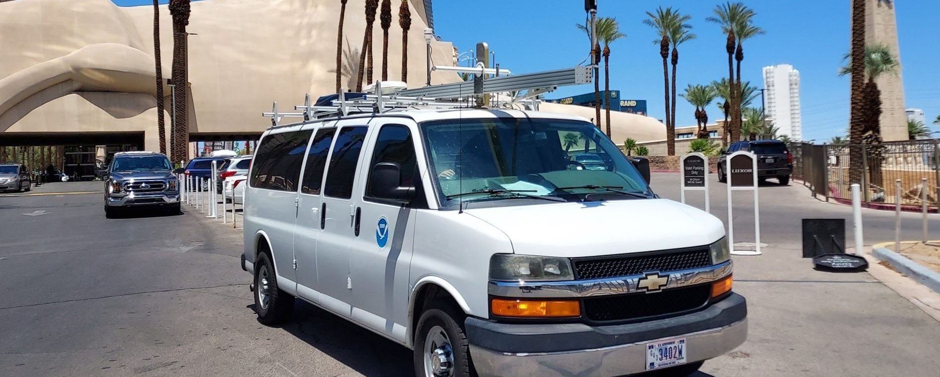
The NOAA Air Resources Laboratory’s Air Resources Car’s displays real-time air quality measurements during a previous research project. Credit: Air Resources Laboratory
The pair of 2024 projects represent the first phase of a five-year campaign, called Airborne and Remote sensing Methane and Air Pollutant Surveys, or AirMAPS for short. Led by NOAA Research and NOAA’s National Environmental Satellite and Information Service, six discrete projects between 2024 and 2028 will survey the majority of U.S. oil and gas basins between 2024 and 2028 to assess current oil and gas methane and air pollutant emissions
The investigation will also evaluate other greenhouse gases and air pollutants generated by agriculture, landfills, coal mining and wetlands. The mission will demonstrate the value of using integrated, tiered greenhouse gas observing systems incorporating comprehensive airborne surveys, satellite- and aircraft-based remote sensing, and ground-based observations not only to quantify emissions from oil and gas basins, but also impacts from oil and gas use in urban testbed areas. Findings will support development of the Greenhouse Gas And Air Pollutants Emissions System, a joint effort by the Chemical Sciences Laboratory and the Department of Commerce’s National Institute of Standards to develop the capability to measure and model U.S. emissions of greenhouse gases and hazardous air pollutants.
When complete, scientists will have surveyed the source regions for more than 90% of currently estimated oil and gas methane emissions, and a similar fraction of oil and gas production. It will be the most comprehensive airborne methane and air pollutant assessment to date. Data will make a major contribution to the new U.S. Greenhouse Gas Center, an effort led by NASA, EPA, NIST, and NOAA to aggregate existing and new scientific data to better understand greenhouse gas cycling by human-caused and natural processes.
“AirMAPS is a large partnership among multiple federal agencies, states, industry and universities bringing together state-of-the-art tools to better understand methane emissions and their sources,” Brown said. “The outcome may have immediate benefits for strategies to improve poor air quality and mitigate climate change.”
For more information, contact Theo Stein, NOAA Communications at theo.stein@noaa.gov, or Chelsea Thompson, Chemical Sciences Laboratory, at chelsea.thompson@noaa.gov.