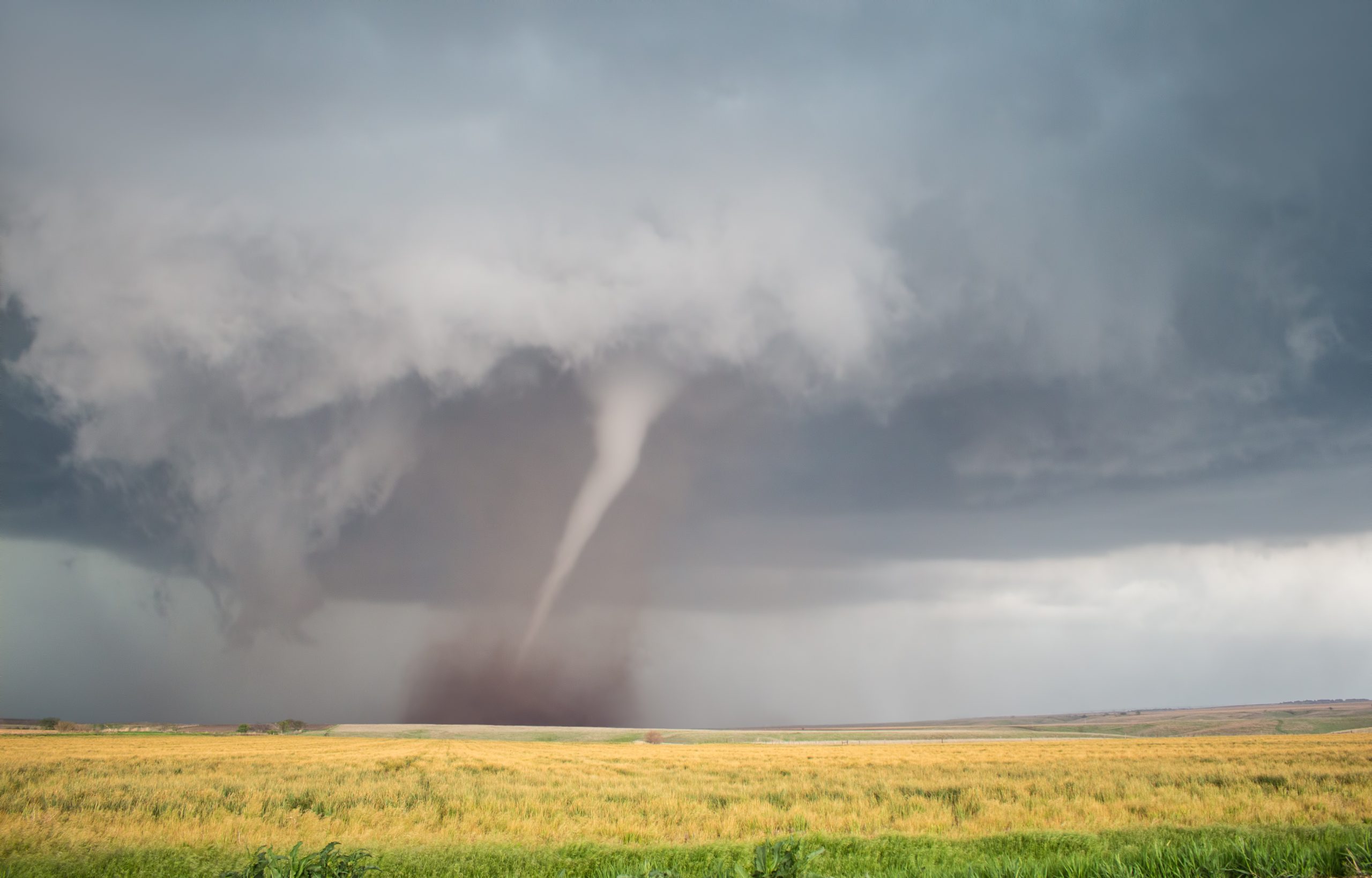
Hurricane Andrew made landfall on August 24, 1992, near Homestead, Florida, becoming one of the most catastrophic hurricanes in U.S. history. It had an extremely low central pressure of 922 millibars and maximum sustained wind speeds estimated at 165 miles per hour. The storm rapidly intensified less than 36 hours before landfall, leaving most residents less than a day to secure their homes and heed evacuation orders. When NOAA Atlantic Oceanographic and Meteorological Laboratory AOML staff found themselves with a major hurricane on their doorstep, hurricane researchers urgently began working to aid forecasters at NOAA’s National Hurricane Center NHC. Hurricane Andrew affected their families, and even destroyed one scientist’s home. Once the hurricane passed, our scientists went right back to work, using what they had learned and seen firsthand to improve our understanding of tropical cyclones. In the 30 years since Andrew, NOAA scientists, forecasters and partners have revolutionized hurricane forecasting to save lives and property. Hurricane Andrew made landfall on August 24, 1992, near Homestead, Florida, becoming one of the most catastrophic hurricanes in U.S. history. It had an extremely low central pressure of 922 millibars and maximum sustained wind speeds estimated at 165 miles per hour. The storm rapidly intensified less than 36 hours before landfall, leaving most residents less than a day to secure their homes and heed evacuation orders. When NOAA Atlantic Oceanographic and Meteorological Laboratory AOML staff found themselves with a major hurricane on their doorstep, hurricane researchers urgently began working to aid forecasters at NOAA’s National Hurricane Center NHC. Hurricane Andrew affected their families, and even destroyed one scientist’s home. Once the hurricane passed, our scientists went right back to work, using what they had learned and seen firsthand to improve our understanding of tropical cyclones. In the 30 years since Andrew, NOAA scientists, forecasters and partners have revolutionized hurricane forecasting to save lives and property.
While storm surge typically accounts for the most devastation during tropical cyclones, it was Hurricane Andrew’s extremely strong winds that caused most of the damage. This compact, yet powerful storm directly caused 23 U.S. deaths, decimated the urban landscape of southern Miami-Dade County, and reshaped communities to this day. Andrew’s intensity, combined with lax enforcement of building codes, destroyed over 25,000 homes, leaving more than 160,000 residents homeless. In Homestead alone, the storm obliterated nearly 99% of all mobile homes, leaving the area unrecognizable. Scientists originally denoted Hurricane Andrew as a Category-4 storm, but after re-analysis in 2002, researchers upgraded it to Category-5. A storm of this magnitude exposed the flaws of the hurricane observation tools used at the time. Andrew’s maximum sustained winds and flying debris either destroyed the ground-based observational instruments, or in some cases exceeded their capabilities.
AOML staff recount personal experiences Many AOML staff members who lived in South Florida during Hurricane Andrew still work at the laboratory today. Direct experience of the destructive power of this storm inspired our scientists to apply what they learned and fueled their desire to make continual improvements over the last three decades. Frank Marks, Sc.D., the director of AOML’s Hurricane Research Division, was the lead scientist aboard the last NOAA P-3 Hurricane Hunter flights into Andrew on August 22, 1992. “During our flight we found that Andrew had not only reintensified to a hurricane but was also tracking west toward Florida,” recalled Marks. “It was a very sobering experience as it was pretty clear it was going to make landfall in South Florida, close to home.”
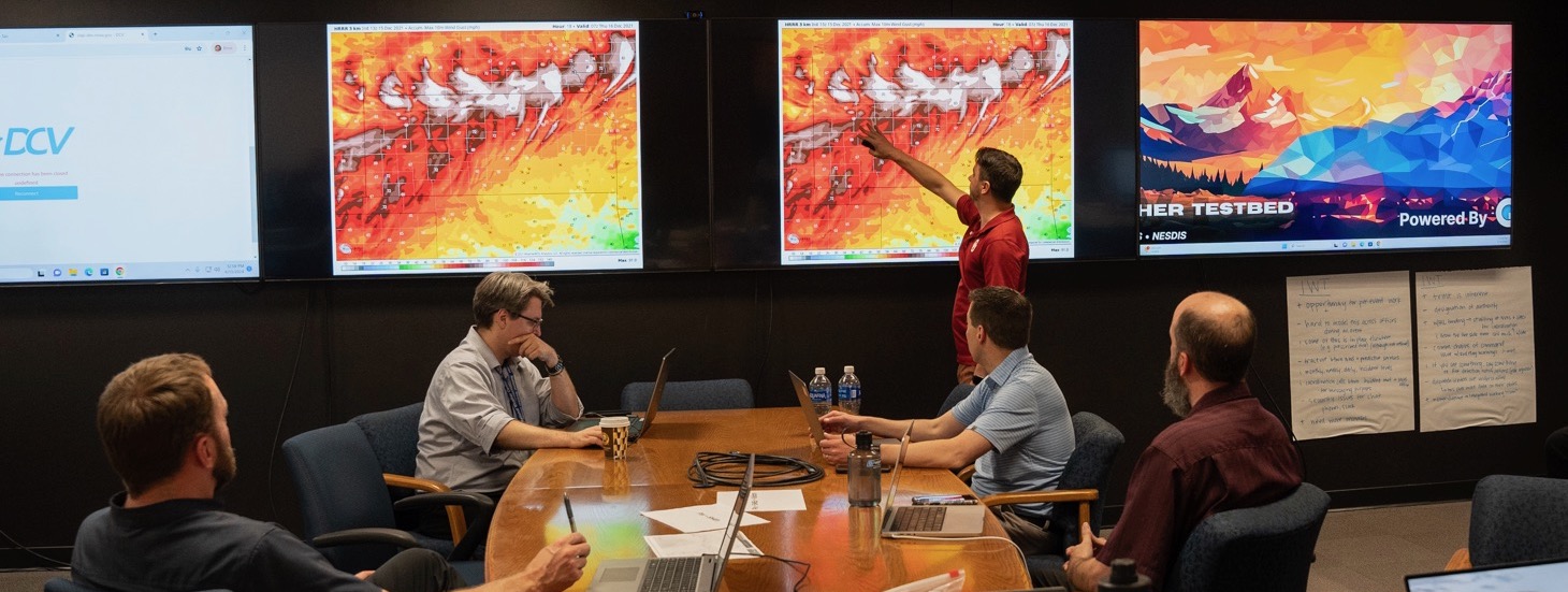
Former AOML research meteorologist and current branch chief of the NOAA’s National Hurricane Center Tropical Analysis and Forecast Branch, Chris Landsea, Ph.D., described the storm as a “complete upheaval of society in just a few hours.” Andrew’s winds toppled boats and cars, destroyed roofs, shattered windows, ripped power lines from the ground, and peeled the paint off buildings. Hurricane Andrew reshaped much of the area, causing $50.5 billion in damages in 2020 dollars, and drove major reforms in South Florida’s building codes. It also led to numerous advances in the tools and technology used to study, forecast, prepare for, and respond to hurricanes. Major scientific advancements since Hurricane Andrew Since Andrew, NOAA AOML hurricane researchers have made great strides to advance hurricane prediction through improved observations, forecast models, and analyses. According to NOAA’s National Hurricane Center, NOAA has drastically improved its track and intensity forecasts, increasing track accuracy by 75% and intensity forecasts by 50% since Hurricane Andrew. NOAA scientists now use an array of satellite information, land-based, sea-based, and aircraft-related instruments to collect observational data.
There are several key improvements to observations such as Global Positioning System GPS dropsondes, uncrewed saildrones/ocean gliders, and uncrewed aircraft systems UAS which monitor the storm environment and advance overall hurricane understanding. Stepped Frequency Microwave Radiometer SFMR observations provide surface wind estimates while Tail Doppler Radar observations from the NOAA P-3 and G-IV aircraft pinpoint the regions of strongest winds and heaviest rainfall. Additionally, high-speed broadband satellite communications transmit high-quality observations in real time from Hurricane Hunter aircraft to ground stations. There are also key improvements in forecast guidance products and modeling such as Statistical Hurricane Intensity Prediction System SHIPS and Rapid Intensity Index RII, which provide guidance on hurricane intensity. The Tropical Cyclone Genesis Index TCGI provides guidance on tropical storm formation, while the Hurricane Weather Research and Forecasting HWRF and the Hurricanes in a Multi-scale Ocean-coupled Non-hydrostatic HMON models provide guidance on both hurricane track and intensity.
Looking towards the future Andrew was one of only seven storms during the 1992 Atlantic hurricane season, but still stands as a stark reminder, “It only takes one storm to make a very bad season.” Having a plan in place is vital for everyone who lives or visits hurricane-prone regions. More preparedness information is available from FEMA, NOAA’s National Hurricane Center and AOML’s Hurricane FAQ page. This season, NOAA researchers are testing the newest advancement for hurricane forecasting, the Hurricane Analysis and Forecast System HAFS model, which will go into operation in 2023. This model brings together ocean and atmospheric observations and allows for scientists to see multiple storms at once to understand how they interact. Observational improvements were facilitated by partnerships with the National Aeronautics and Space Administration NASA, National Science Foundation NSF, NOAA’s Aircraft Operation Center AOC, and the Office of Naval Research ONR, while forecast guidance products and modeling improvements were facilitated through NOAA’s Joint Hurricane Testbed JHT and the Hurricane Forecast Improvement Project HFIP. Additional resources: Video: Satellites of the Sea: Observing the Ocean for Hurricane Research For more information please contact Laura Chaibongsai, NOAA’s Atlantic Oceanographic and Meteorological Lab at laura.chaibonsai@noaa.gov or Monica Allen, NOAA Communications at monica.allen@noaa.gov