The giant methane cloud spotted by satellite over the U.S. Southwest that made national headlines in 2014 wasn’t a persistent, undiscovered “hotspot” as first thought, but the result of a nightly atmospheric condition and topography that trapped industrial and natural emissions of the potent greenhouse gas near the ground in the basin overnight, according to new research published in the journal Elementa by CIRES and NOAA.
The news that a European Space Agency satellite had observed the unexpectedly large methane cloud in the Four Corners region of Arizona, Colorado, New Mexico and Utah from 2002 to 2012 rumbled through the scientific community because researchers calculated that the “hot spot” was generating 3.5 times more methane than estimated in a widely-used European Union greenhouse gas database. Methane is a potent greenhouse gas, about 28 times more powerful than carbon dioxide over 100 years.
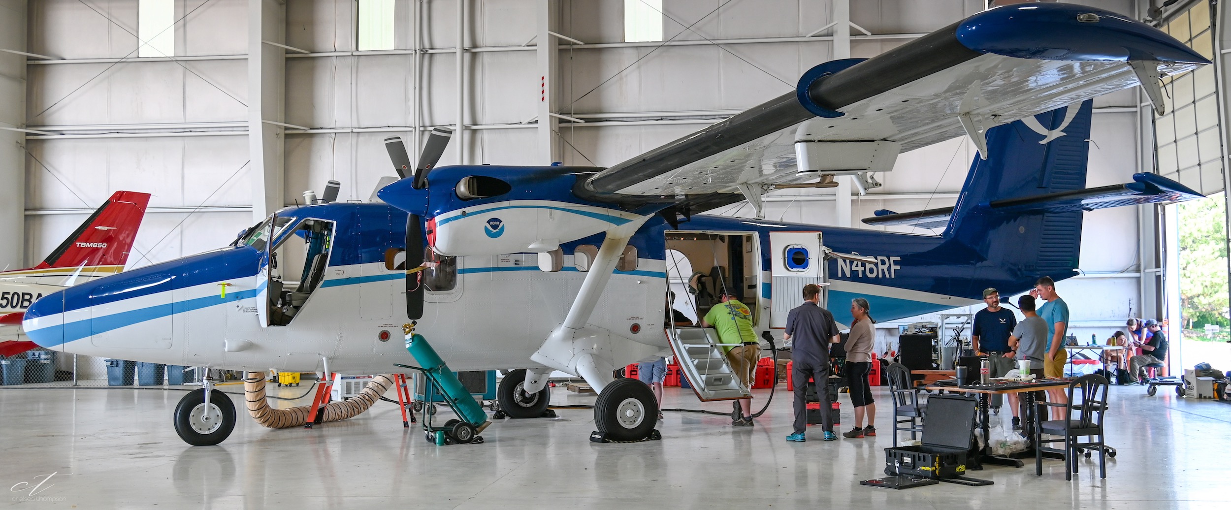
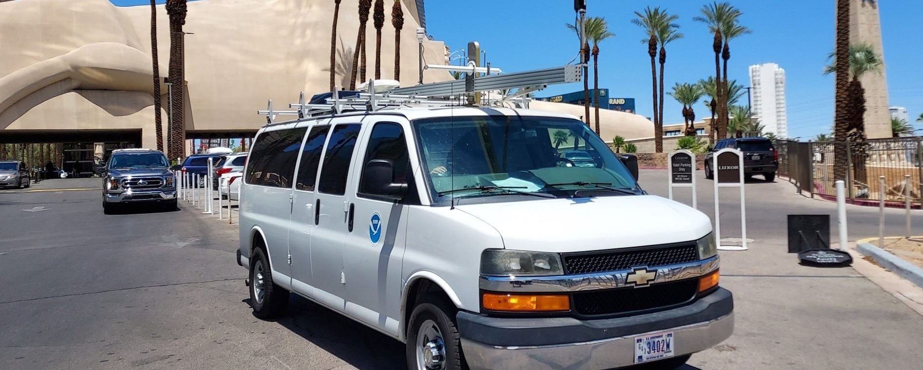
But the daily satellite observations of the 2,500 square-mile San Juan Basin weren’t detailed enough to reveal the exact causes or sources of the methane. So in 2015, scientists from two University of Colorado institutes, CIRES and INSTAAR, and from NOAA participated in an intensive field campaign that used instrumented aircraft and vans to investigate those questions.
Researchers criss-crossed the basin in instrumented aircraft to detect and map methane and ethane emission plumes. Scientists then pinpointed hundreds of emission sources identified from the air. They were able to zero in on emission plumes for a closer look at different sources with other instruments in specially equipped vans. This work was made possible thanks to a close collaboration with the U.S. Bureau of Land Management, state and local governments, and two Native American Tribes, which own much of the land and regulate oil and gas development in the region.
The team found that 66 to 75 percent of the methane detected by their two aircraft came from natural gas and coal bed methane operations in the basin. Another 5 percent drifted in from oil development 75 miles to the south in New Mexico. Methane leaking naturally from an exposed outcrop of the Fruitland coal formation in La Plata County, Colorado, added no more than 8 percent. Gas venting from an underground coal mine near Farmington, New Mexico, contributed less than 2 percent.
And what about the methane hotspot the satellite detected? Lead author Gabrielle Pétron, a CIRES researcher working at NOAA’s Global Monitoring Laboratory, said that the European satellite passed over the region in the morning, when methane was still trapped under the atmospheric inversions that concentrate pollution overnight near the surface in many western U.S. oil and gas basins. By mid-afternoon, westerly winds typically would disperse much of the stagnant, methane-rich air.
While the “Four Corners hotspot” has now been shown to not be as severe as first thought, Petron said that their research provides some important lessons.
First, sustained, coordinated measurements are important for identifying the sources and causes of apparent pollution spikes, she said. Snapshot observations by a satellite flying overhead once a day should be followed up by on-the ground investigations to understand their true nature. Second, the cooperation of landowners, regulators and operators is highly valuable for getting a close look at emission sources.
Finally, real-time monitoring is a reliable way to quickly identify anomalously large pollution sources. When they found substantial leaks, the researchers told officials, who notified the operators. “Methane is a powerful greenhouse gas,” Pétron said. “Real time high-resolution methane detection from vehicles, drones, aircraft, and satellite are effective ways to help industry detect – and repair – leaks.”
According to Pétron, their study shows how coordinated field measurements can provide a detailed picture of emissions sources and their impacts in a particular region. But she hopes that’s not the only takeaway. “It’s important that research focuses not only on quantifying emissions, but also informing actions and policies to reduce emissions significantly over the long term,” she said.
For more information, please contact Theo Stein, NOAA Communications, at theo.stein@noaa.gov


