
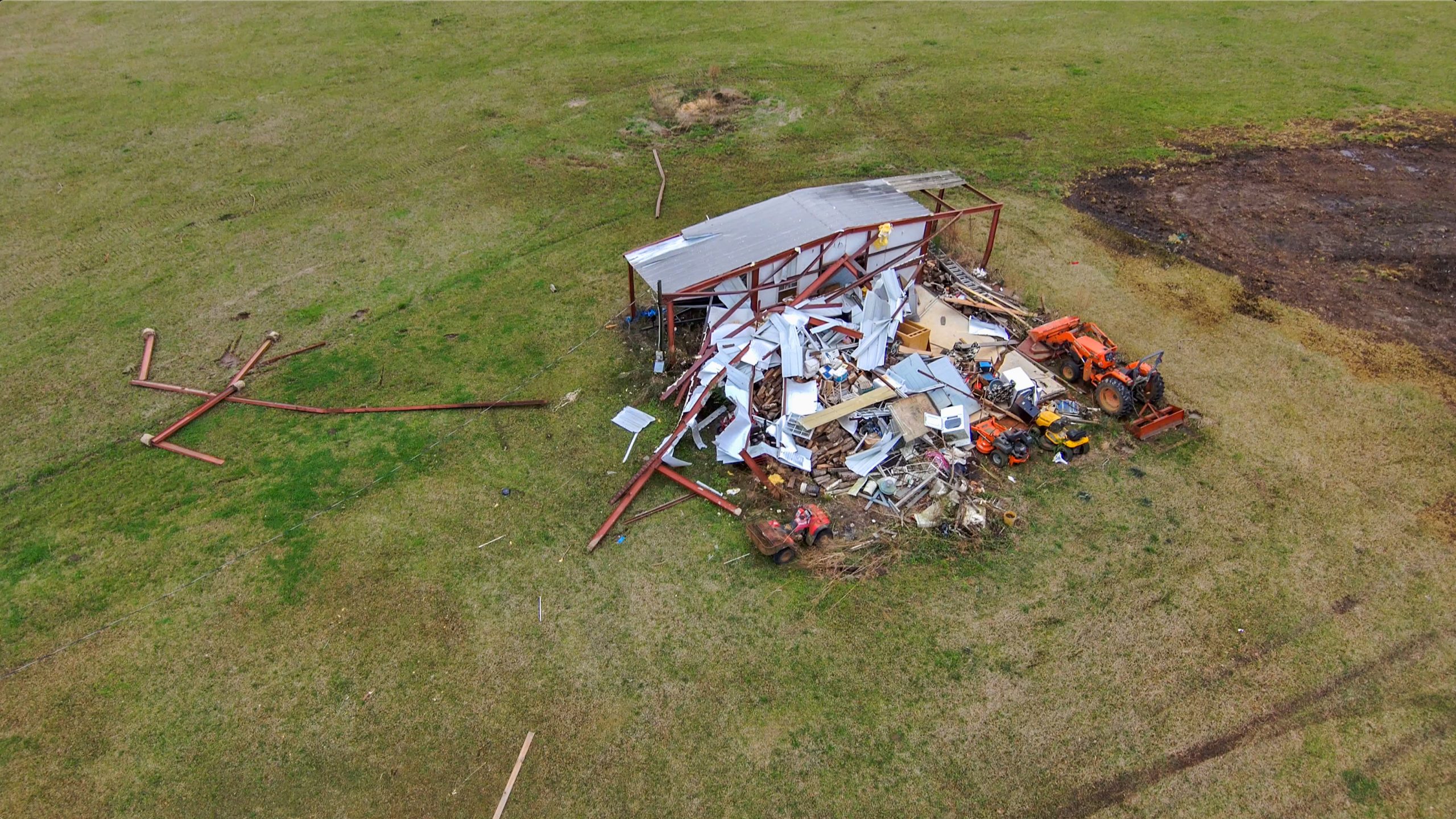
NOAA’s National Geodetic Survey dispatched the NOAA King Air 350CER aircraft, equipped with specialized remote sensing equipment, on a mission to collect aerial photography at 5,000 feet from Tuscaloosa to Birmingham, Ala.


Scroll to Top
Popup Call to Action
A prompt with more information on your call to action.