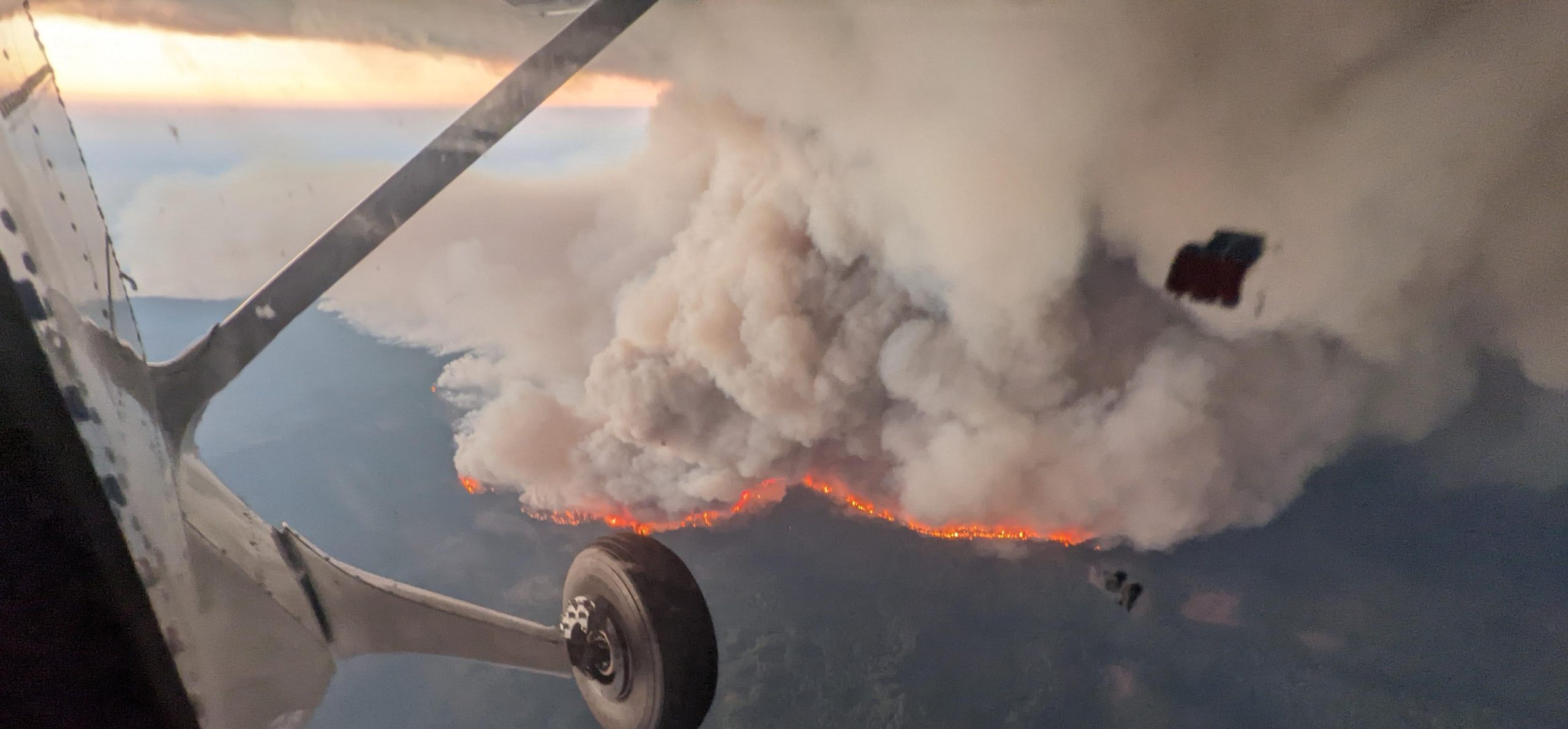
Historic flooding, a record-breaking tornado outbreak and devastating wildfire activity made April 2011 a month of historic climate extremes across much of the United States, according to scientists at NOAA’s National Climatic Data Center (NCDC) in Asheville, N.C.
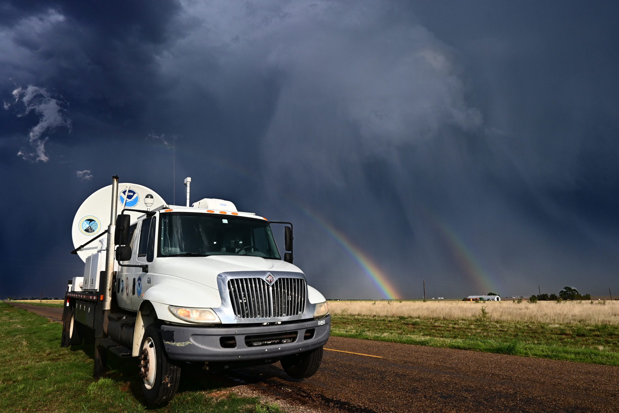
National Severe Storms Laboratory