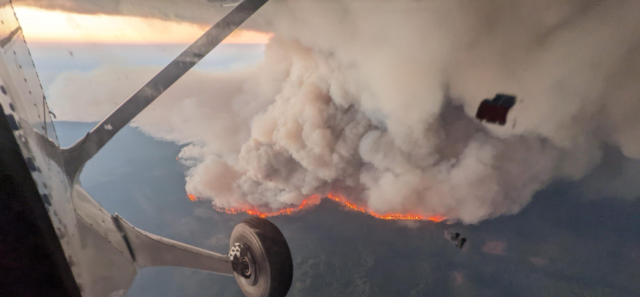
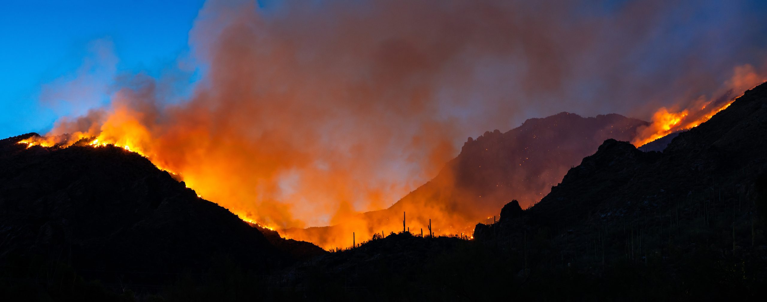
All tornadoes — whether small or large — originate from thunderstorms, but not all thunderstorms are the same. Different environments and situations create forecasting challenges. For instance, nighttime twisters, summer tornadoes and smaller events can be tougher to forecast.
Researchers wanted to quantify how much tougher, and have published a new method of classifying tornado environments according to their forecast difficulty.
In a new paper published online in the Bulletin of the American Meteorological Society, University of Washington scientist Alexandria Anderson-Frey, and Harold Brooks from the NOAA National Severe Storms Laboratory describe a new way to rate and possibly improve tornado warnings.
“With this research, we’re trying to find ways to truly level the field related to the difficulty of the forecast situation,” said Brooks. “This will help us identify areas for research, as well as better understand the long-term historical statistics.”
The paper presents a new method to rate the skill of a tornado warning based on the difficulty of the environment. It then evaluates thousands of tornadoes and associated warnings over the continental United States between 2003 and 2017.
The NOAA-funded study finds that nighttime tornadoes have a lower probability of detection and a higher false-alarm rate than the environmental conditions would suggest. Summertime tornadoes, occurring in June, July or August, also are more likely to evade warning.
“The forecasting community is not just looking at the big, photogenic situations that will crop up in the Great Plains,” said Anderson-Frey, the lead author. “We’re looking at tornadoes in regions where vulnerability is high, including in regions that don’t normally get tornadoes, where by definition the vulnerability is high.”
The technique could be applied to forecasts of other types of weather as well.
This research began while Anderson-Frey was a postdoctoral researcher at the Cooperative Institute for Mesoscale Meteorological Studies, a partnership between the University of Oklahoma and NOAA.
This story was adapted from a University of Washington news release.