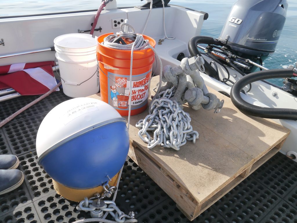
On Monday night, October 8, 2018, 10 drifting buoys were thrown from the hatch of a U.S. Air Force Hurricane Hunter into the Gulf of Mexico so they could be in front of Hurricane Michael to help with hurricane forecasting.
The drifting buoys, called drifters, collect data on sea surface temperature, wind, and atmospheric pressure, and transmit this data in real-time via the Global Telecommunication System. This data provides important information that can help forecasters predict the path and intensity of hurricanes.
This mission is part of NOAA’s Global Drifter Program, a joint program between NOAA and Scripps Institution of Oceanography at the University of California San Diego. The Global Drifter Program (GDP) deploys nearly 1000 drifters each year to maintain a global array throughout the global ocean, with additional support from the U.S. Office of Naval Research.
From 2013 through September 2018, a total of 116 drifters have come within 30 nautical miles of the path of a tropical storm, often sampling waters within the eye of the hurricane. There have been about a dozen times when researchers have had the opportunity to deploy drifters ahead of hurricanes.
Five of the 10 drifters deployed in front of Hurricane Michael are unique in that they are also recording wave data using new sensors developed by the Lagrangian Drifter Lab at Scripps. These drifters, called Directional Wave Spectra Drifters, are able to detect height, period, and direction of surface waves. Near Hurricane Michael, waves up to 29 feet were detected in waters where the average height is generally around 3 feet. Luca Centurioni, GDP Principal Investigator from Scripps, says the new drifters “can provide important data that will help forecasters to assess the danger of high seas and storm surges.”
Also included in this mission were three Electro-Magnetic Autonomous Profiling Explorer (EM-APEX) floats that measure ocean heat content and currents. The EM-APEX floats are part of hurricane research conducted at the Upper Ocean Dynamics Laboratory at the University of Miami.
The Global Drifter Program is the largest component of the Global Surface Drifting Buoy Array, a branch of NOAA’s Global Ocean Observing System, supported by the Ocean Observing and Monitoring Division of NOAA Research. This drifter mission was coordinated by Chief, Aerial Reconnaissance Coordination, All Hurricanes (CARCAH) unit of the National Hurricane Center. GDP is also a scientific project of the Data Buoy Cooperation Panel, an international program coordinating the use of autonomous data buoys to observe atmospheric and oceanographic conditions over ocean areas where few other measurements are taken.
For real time drifter data go online to the NOAA’s website with graphs and data.
Go online to learn more about ways to become involved with the Global Drifter Program.
For more information please contact Jessica Mkitarian, NOAA Research communications specialist, at 301-427-2472 or by email at jessica.mkitarian@noaa.gov